Route Risk

Route Risk measures crossings, slow movement, dwelling, anchoring and fishing along a proposed route or site on licensed historical data, and grades each segment with its reasons. When you compare candidate routes or decide on burial depth and protection, you have a basis you can check. Once the asset is in service, the same study continues as a recurring corridor report.

Know the risk along the route before the cable goes in

NeroRoute RiskRoute studyDemo routeSimulated
Route study · illustrative cable5
SegmentCrossingsRisk tier
S11Lower
S21Lower
S31Lower
S415Higher
S521Higher

Blue cells: a month of simulated traffic; the darker the cell, the more voyages through it

Graded on how often simulated traffic crosses each segment's protection band; a real study uses licensed historical data for the area and period.

Built for
Cable owners and consortiaCable route planners and engineering firmsOffshore wind developersUtilities and grid operatorsMarine insurers and underwriters
NeroPlatformSearchEvidence record18:14:07Z
anchored · segment 3 · last 30 days
Area: segment 3Status: at anchorPeriod: 30 days
VesselEpisodeWhenEvidence
Demo vessel AAt anchor 3 h 40 m10-14 22:05E-02
Demo vessel CAt anchor 1 h 12 m10-09 04:30E-31
Demo vessel KAt anchor 52 m10-02 13:18E-44

3 results · every row opens its sealed source

What Route Risk does

Segment-by-segment grades
Each segment is graded lower, medium or higher on crossings, slow movement and dwelling, anchoring and fishing, with the reasons for every grade.
Compare candidate routes
Two or more candidate routes are assessed under the same rules, with the differences set out segment by segment.
Anchorages and fishing grounds
Where vessels actually anchor and fish near the route, how often and at what times.
Site studies
Wind-farm and other offshore site boundaries and safety zones are assessed the same way.
Recurring corridor report
Once the asset is in service, the study updates monthly and marks what changed since the last period.
Into live alerting
The study's segments and zones carry straight over as protection zones in Cable Watch or Offshore Guard.
The route strip

Landing to landing, one segment at a time

The route laid out as one strip: the plan on top, each segment's grade and its anchoring, fishing and traffic pressure in the middle, the depth profile below. Shallow segments near an anchorage are usually where burial depth or extra protection is decided.

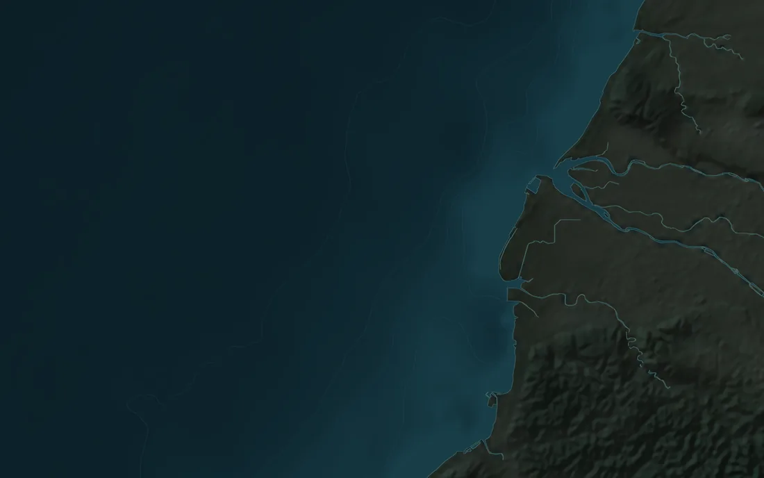
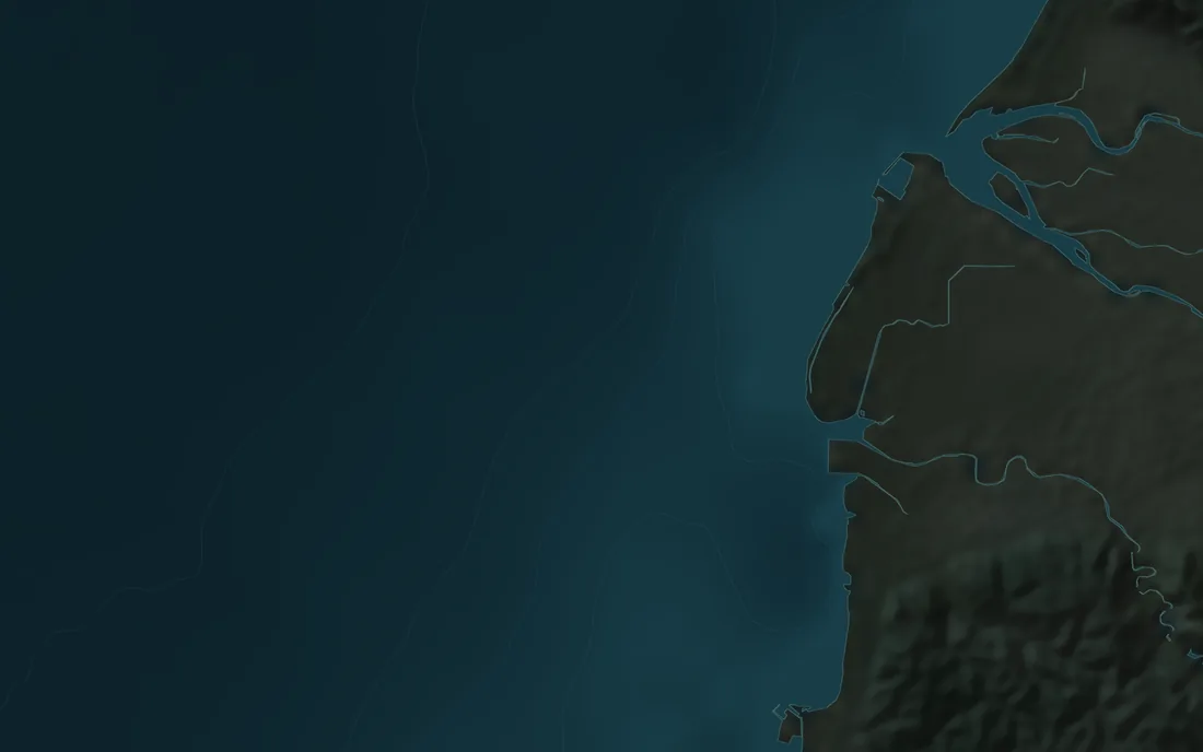
凝瀚Hsinchu coast · Route study · illustrative cableSimulated data
Route study · illustrative cable5 · 48 km
SegmentCrossingsRisk tier
S11Lower
S21Lower
S31Lower
S415Higher
S521Higher
Depth along the route0–90 m
0 km12243648 km
Two routes, one set of rulesA · B
Route ARoute B
Length48 km53 km
Segments graded higher2 of 51 of 6
Crossings of existing assets21
Nearest anchorage1.2 km6.8 km
Length through fishing grounds12 km5 km

Illustrative route and simulated pressure; a real study uses data licensed for the area and period

From the survey to the first year in service

Find where ships anchor near the route

Route Risk finds the places vessels actually anchor near a proposed route, how long they stay and which segment they are closest to. A route that keeps clear of them carries less exposure to anchors.

NeroRoute RiskAnchoringDemo anchorage A18:14:07Z
Ships at anchor in a hazy sea, seen from the air
Demo anchorage A · last 12 months
Vessels anchored
14 vessels
From the proposed route
0.8 NM
Longest stay
31 h
Nearest segment
S4
  • Anchoring as it actually happens, not only as charted
  • Stay times and the nearest segment
  • Licensed historical data for the area
Tell fishing apart from transit

A fishing vessel crossing the route on its way out is not the same as one working over it all night. Route Risk splits each track into transit and fishing-like segments, so the grades count the work, not the passing.

NeroRoute RiskFishing activityDemo vessel FSimulated
Speed (kn)Fishing-like · 6 h 18 min
Fishing speeds
18:0002:00
  • Transit and fishing-like segments
  • Gear beacons removed before counting
  • Fishing scored on its own

One report, two languages, every month

The study is delivered in English and Traditional Chinese with identical content. Once the asset is in service, it continues as a monthly corridor report that marks what changed.

NeroRoute RiskCorridor reportOctober18:14:07Z
ENOctober: anchoring near segment S4 rose
  • 14 vessels anchored within 2 NM of S4, against 6 in September.
  • Fishing-like activity crossed the route on 9 nights.
  • S4 moves from the medium to the higher tier.
中文十月:S4 區段附近的錨泊增加
  • 共 14 艘船在 S4 兩浬內錨泊,九月為 6 艘。
  • 疑似漁撈的活動在 9 個夜晚穿越路由。
  • S4 由中等風險升為較高風險。

Every figure links to the movements behind it.

  • English and Traditional Chinese, identical content
  • Every figure links to the movements behind it
  • Monthly once the asset is in service
Known limits

What historical data can and cannot tell you

Approach & Limits
  • Historical AIS covers only vessels that were transmitting. Vessels without AIS do not appear in a study.
  • A study shows past traffic; it does not forecast. A new port, lane or fishing ground changes the risk, which is why the recurring report matters.
  • Grades follow rules fixed in advance. They are one input to a decision and do not replace engineering or seabed surveys.
  • A study is only as complete as the data licensed for it, and every report states the areas we cannot see.

Works with Cable Watch

Once the cable is in, the same segments become Cable Watch protection zones, with live alerts on the same evidence.

Explore Cable Watch

NeroCable WatchHow an alert buildsSimulated replaySimulated
23:38 TaiwanSpeed 0.0 kn
  1. 22:32Slow inside the protection zone for over an hour+20
  2. 23:32At anchor in a no-anchoring zone for 2 hours+20
Score · Watch at 20, Warning at 4040
WarningAlert raised · A-21 · 23:32
Simulated replay: the demo ship slows inside the cable's protection zone, anchors and stays. Each indicator adds its points until the score reaches the Warning threshold. Ships and tracks come from Nero's synthetic track generator; the cable is illustrative.

Common questions

How is segment risk calculated?
We divide the route into segments, measure crossings and slow, dwelling and anchoring behavior in each, then grade them against fixed rules set in advance. Every grade states its reasons.
What data do you use?
Historical AIS licensed for the area and period of the study, plus anything you provide, such as survey data or route files. Every dataset is tagged with its source and license.
Can you assess routes we have not made public?
Yes. Route files you share are used only for your study and are not shown to anyone else.
Is it available now?
Not yet in general release. We are seeking a first route or site to study.
Become a pilot partner

We are seeking a small number of cable and offshore wind operators as partners for the first pilot deployments. Inquiries in English or Chinese.