Nero Maritime Intelligence
The behavioral intelligence layer for East Asian seas
Nero monitors how vessels behave around cables, wind farms and ports, uncovers who they really are, and reconstructs what happened when something goes wrong. Each alert is scored deterministically, itemizes the indicators behind it and links to a sealed source record.
Maritime risk rarely announces itself. It surfaces as a reported speed that contradicts a position, a name that changes between port calls, or an anchor dropped inside a protected corridor. Nero converts these weak indicators into attributable intelligence.
Case in point
Cable security begins with the monitoring of vessel behavior
In June 2025, a Taiwanese court sentenced the captain of a freighter over a severed subsea cable. The ruling turned on the ship’s track: it dropped anchor inside a designated no-anchoring zone and moved in a zigzag pattern until its dragging anchor cut the cable. Not every fault is foul play. Other cable faults that year were traced to natural deterioration.
Both behaviors the court relied on show up in a ship’s AIS signal while they are happening, before any damage is done, and both are indicators Nero scores. Telling hazardous behavior apart from routine traffic and natural failure, quickly and on the record, is what Nero is built for.
From raw signal to evidence built for scrutiny
One analytical engine across the full incident lifecycle, from route planning to post-event reconstruction, with alerts delivered by email or webhook into the systems your team already runs.
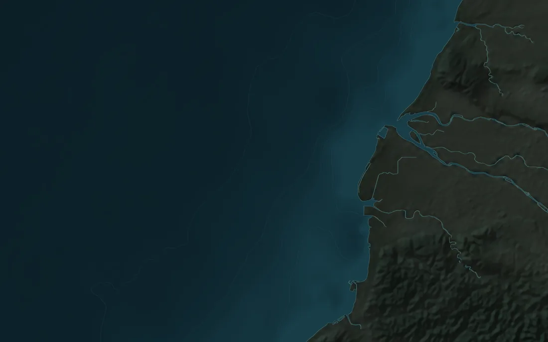
| Segment | Crossings | Risk tier |
|---|---|---|
| S1 | 1 | Lower |
| S2 | 1 | Lower |
| S3 | 1 | Lower |
| S4 | 15 | Higher |
| S5 | 21 | Higher |
Blue cells: a month of simulated traffic; the darker the cell, the more voyages through it
Graded on how often simulated traffic crosses each segment's protection band; a real study uses licensed historical data for the area and period.
-
Warning23:32Demo vessel E SIM-EIllustrative cable · protection zoneAt anchor in a no-anchoring zone for 2 hoursWaiting 6 minAcknowledgeClose…
-
Watch22:47Demo vessel F SIM-FFishing-pattern movement near the cable (capped at Watch)Caution · no acknowledgement needed
-
Watch21:31Demo vessel G SIM-GClosed 21:58 · Watched, no action needed
- Type
- Cargo
- Status
- At anchor
- Speed
- 0.0 kn
- In zone
- 2 h 16 min · since 21:22
- Reports
- Every 3 min
- Evidence
- Raw messages sealed
- Slow inside the protection zone for over an hour+20
- At anchor in a no-anchoring zone for 2 hours+20
| Taiwan time | UTC | Event | Evidence |
|---|---|---|---|
| 21:22 | 13:22 | Enters the illustrative cable's protection zone at 7.4 kn | E-01 |
| 21:32 | 13:32 | Slows inside the zone and anchors in the no-anchoring zone | E-02 |
| 22:32 | 14:32 | Slow in the zone for an hour: Watch A-21 raised · +20 | E-03 |
| 23:32 | 15:32 | Still at anchor after 2 hours: A-21 escalated to Warning · +20 | E-04 |
| 23:38 | 15:38 | The operator acknowledges the alert; the ship is still at anchor | E-05 |
Solutions

A published method,
open to inspection.
Our scoring rules, evidence handling and validation protocol are documented in full.
Scores derive solely from observed conduct: where a vessel stops, how it moves and whether its identity changes. Flag state and nationality carry no weight.
Each alert itemizes the indicators that fired, the weight each one carried and a plain-language rationale.
Source data is sealed and hashed on receipt, so any finding can be reproduced from the original records.
Known limitations are documented on Approach & Limits and disclosed in every report.
Source-agnostic by design
Nero works with the data you already hold. Each source enters through its own adapter, and every record keeps its provenance and license tags.
- Licensed data
AIS feeds and historical archives used under license, with attribution on every output.
- Partner data
Data shared by maritime authorities, port operators and research institutions under formal agreement.
- Your own sensors
Radar, cable alarms and fiber sensing, used only for your organization. They can also reveal vessels that are not transmitting AIS.
- When a source drops
Nero keeps running on the remaining sources and reports what it can no longer see.
We are seeking a small number of cable and offshore wind operators as partners for the first pilot deployments. Inquiries in English or Chinese.